
Federal Way Neighbors by Block
Public records describe a block in layers. King County maps show parcel lines and site addresses. Assessment records identify taxpayers or owners. Recorded deeds document legal interests, while permits show work tied to a site. Voter reports may disclose limited fields under Washington law. None of these sources is a complete list of Federal Way neighbors. An owner can receive mail elsewhere, one parcel can hold many units, and renters or family members often do not appear in ownership data.
| Source | What It Shows About a Block | Access |
|---|---|---|
| Parcel Viewer | Boundaries, addresses, PINs, selected parcel group | Public online |
| iMap | Parcels with zoning, flood, planning, political, and aerial context | Public online |
| Assessor | Owner or taxpayer, mailing and situs fields, sales and buildings | Online or phone |
| Recorder | Ownership instruments and legal descriptions per parcel | Landmark; Archives before cutoff |
| City permits | Work, land-use, and inspection history by site | City records from 1990; request by address |
| Voter report | Lawfully disclosable voter fields | Request; protected records omitted |
| Block Watch | Police-supported community contact | City partnership, not a member roster |
Choose a source based on the question. Parcel Viewer is the best first view of the immediate block. eReal gives the assessment record behind one mapped lot. A city permit may explain visible construction. Block Watch and neighborhood contacts help residents organize, but the research found no official citywide member directory. Historical directories and census records belong to a past-neighbor question, not a current household claim.
Select Federal Way Neighbor Parcels
The King County Parcel Viewer can move beyond a single address. Search the address or ten-digit parcel identification number, zoom until parcel boundaries show, and click the target. Select Parcels supports line, freehand line, polygon, and freehand polygon tools. A feet-based buffer is useful when distance matters more than a street segment. The selected results can be exported with PIN and address fields.
Each result links to a Property Report and Districts Report. The first supports parcel and assessment questions. The second identifies service and political districts. Map lines are approximate, so they should not be treated as a survey or proof of a household boundary.
Open the official Parcel Viewer before using the controls described here.
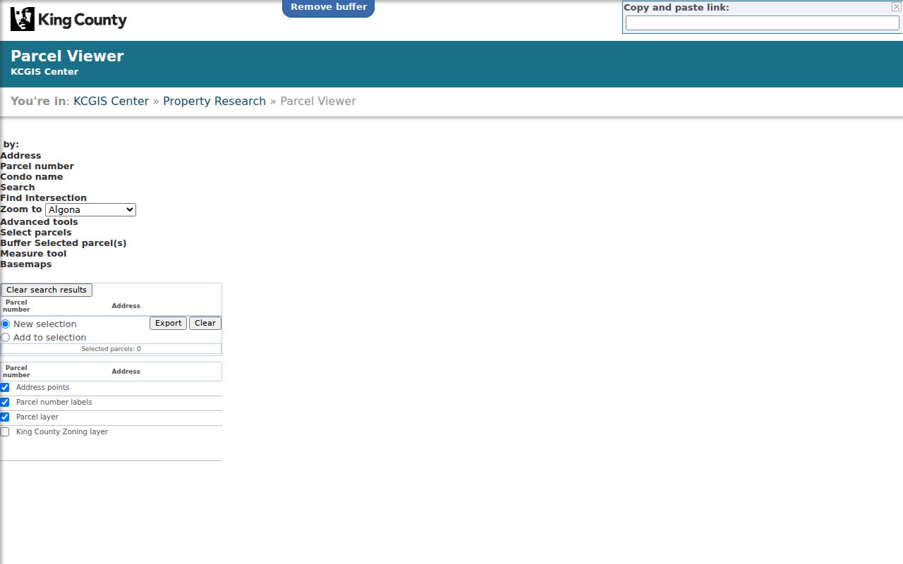
The map interface makes adjacent lots visible without guessing which street numbers sit next to one another.
Map Federal Way Neighbors Outward
A short process turns one known Federal Way address into a defensible block list. It keeps the parcel map, owner roll, and occupancy question separate.
- Locate the address in Parcel Viewer. Confirm the PIN and select parcels beside, behind, and across from it.
- Export the selection, then open the Property Report for each PIN. Compare situs and mailing fields.
- Use eReal for assessment details and Landmark only when a recorded ownership instrument is needed. The Recorder has no address field.
- Mark every owner as an owner, not an occupant. Use lawful voter information only as a separate source.
That flow is address to PIN to property report to owner name. Expanding beyond the immediate block changes the task; the Federal Way street directory handles a whole named street and its deeper record chain.
Federal Way eMap Block Context
King County eMap supplies another parcel view. It supports parcel, quarter-section, city levy code, and map-update-date fields. iMap adds zoning, flood, planning, political, aerial, and other layers. These tools explain the geography around Federal Way neighbors without making claims about who occupies a home.
A PIN is the ten-digit King County parcel number. A situs address is the physical location used on the parcel record. A mailing address is where the taxpayer receives mail, and a legal description identifies the land in title records. Those fields may point to different places for sound reasons.
The official interface shown below is available through King County eMap.
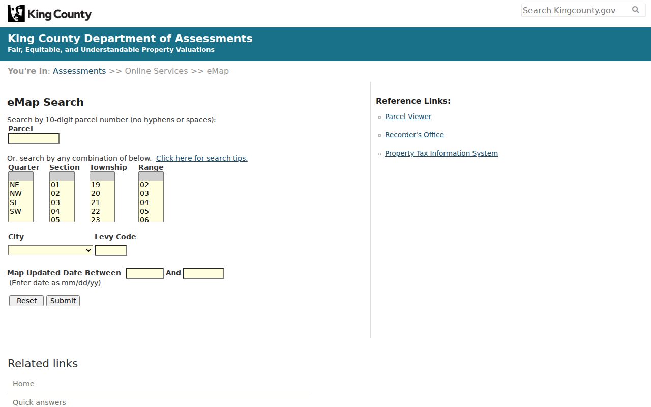
Its map fields can help place a block within the county's parcel framework before a record request is made.
Note: Parcel boundaries on public viewers are approximate; consult recorded surveys and plats when the legal boundary itself matters.
Federal Way Neighborhood Contacts
Federal Way Police partners with neighborhoods, HOAs, and apartment communities to establish Block Watch. The Crime Prevention program routes interested residents to a Community Engagement Coordinator and offers safety and fraud-prevention presentations. It does not publish a block-by-block roster. Neighborhood Traffic Safety uses elementary-school attendance areas as a service geography, not as a directory of residents.
Block Watch
Federal Way Crime Prevention
Police-supported organizing and community engagement. No public membership roll was found.
City GIS Division
Federal Way GIS
Interactive maps, downloadable data, and city geography help. Phone: 253-835-2550.
Historical Society
Historical Society of Federal Way
Local subject files, photos, newspapers, and research help for past blocks.
North Lake, Northlake Ridge, Steel Lake, Twin Lakes, Redondo, Dash Point, Lakota, and Hylebos or West Hylebos appear in official outreach and planning sources. These names help frame a search, but none creates an official resident roll. Public association pages may offer a board or meeting contact. Private member lists remain permission-based.
The city's official program appears below via Federal Way Crime Prevention.
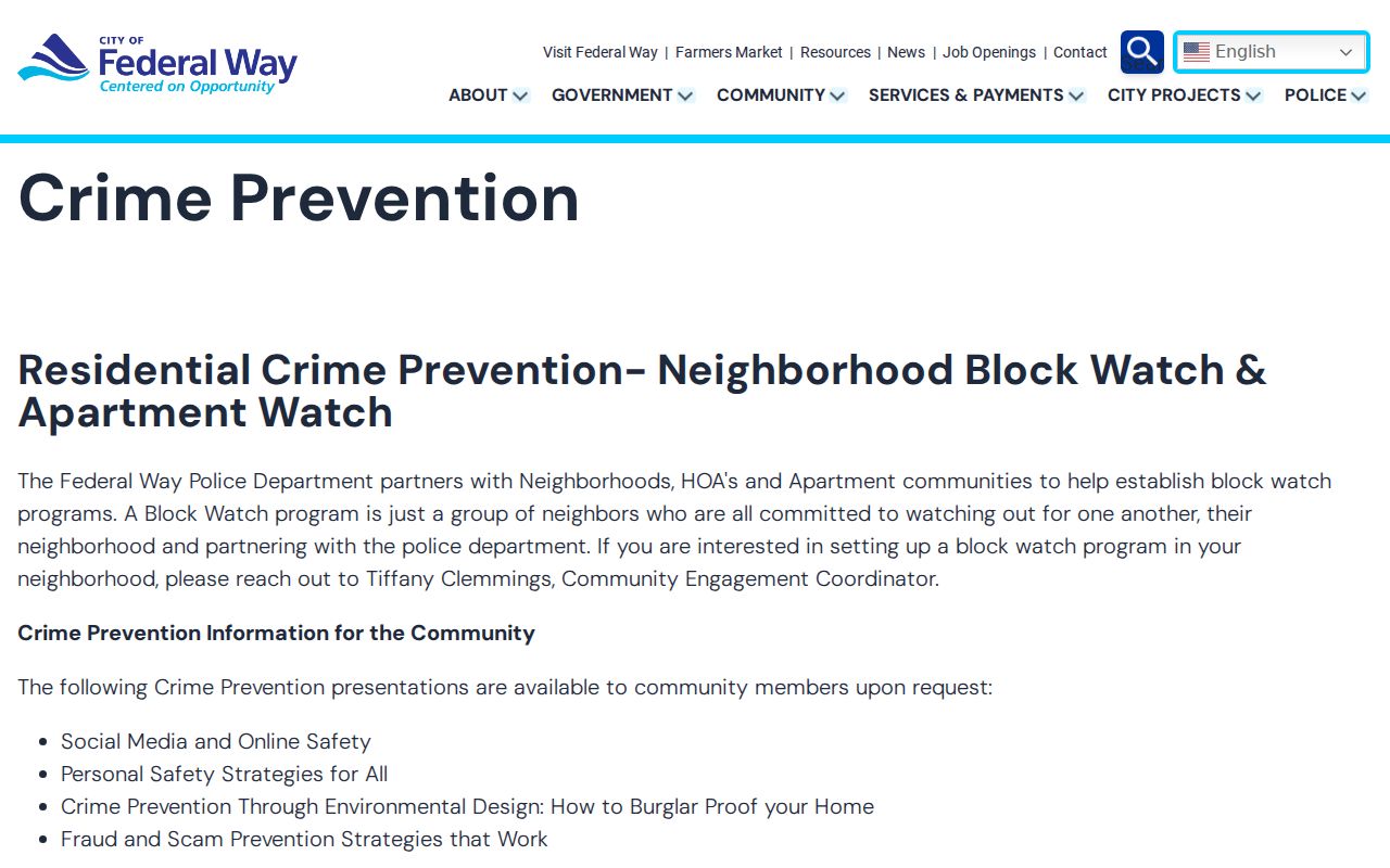
The program is designed to connect a community with police support, not to disclose the names of every neighbor.
Federal Way Neighbors and Voters
Washington's public voter fields can include a registered voter's name, residence address, year of birth, and voting history. Full birth dates, driver's-license numbers, Social Security number information, and protected-voter records are withheld. Ballot history shows participation, never how a person voted. Washington also does not register voters by party.
VoteWA is a self-service tool rather than a browse-along-the-block screen. A lawful public-record request should ask for an existing report and the fields needed. Federal Way registrations are administered by King County Elections, while a statewide database report may be routed to the Secretary of State. Protected records must remain omitted.
A voter extract still cannot name all Federal Way neighbors. Some people are not registered, records change daily, and one address may include voters who are not property owners. Treat it as one dated public roll, not proof of a complete household.
Federal Way Neighbor Source Check
Official rolls and commercial neighbor products answer different questions. The source and date matter more than the number of names returned.
| Source type | Useful for | Main limit |
|---|---|---|
| County parcel and assessor systems | Lot, PIN, taxpayer, situs, legal, and building facts | Owner is not necessarily occupant |
| Election or city record | A defined public field or existing agency record | Statutory redactions and changing status |
| Community group | Meetings, public contacts, and shared concerns | Not an official household roster |
| Commercial compilation | Possible leads gathered from many data sets | Can be stale, merged, paywalled, or hard to correct |
Confirm a lead with the office that created the record. If a county parcel entry is wrong, contact the Assessor. If city permit data is wrong, contact the city. Removing a profile from a commercial service does not alter its public source.
Past Federal Way Neighbors
A current parcel map can also define the block for a historical search. Save the addresses and PINs first, then ask a library or archive about reverse directories, which arrange entries by street and address rather than only by surname. Regional reverse lookup is documented from 1938, but a volume must be checked for its exact geographic reach and year. Federal Way did not incorporate until 1990, so older entries may be filed under a nearby community, an unincorporated King County label, or the school-district identity associated with Federal Way after 1929.
Census records add household and relationship details after their federal release period. King County Archives holds historical census volumes from 1880 through 1892, along with land and road maps, aerial photographs, court indexes, and older deed microfilm. Washington State Archives provides collection and branch searches. The Historical Society of Federal Way adds local subject files, photographs, and a digitized Federal Way News archive with visible issues from 1979.
Past neighbors still require careful matching. A street label may change, a directory may omit a household, and a news item can preserve a former address long after a move. Pair each address entry with a year, map, parcel history, census detail, or recorded instrument. For a full backward address trail, use the historical collections and deed chain rather than treating today's owner list as a substitute.
Federal Way Neighbor Privacy Limits
Safe at Home gives eligible Washington participants a substitute address, and its program records are exempt from disclosure. Protected-voter rules, sealed and juvenile court records, vital-record eligibility, and federal driver-data restrictions close other paths. Never try to reverse a substitute address. The absence of a person from a parcel or voter record is not proof that the person does not live nearby.
Parcel records also omit much of real household life. A multi-unit parcel can contain many homes. A renter may never appear in the deed chain. A tax mailing address may belong to a management office or owner elsewhere. Utility, delivery, private congregation, and HOA membership data should not be treated as open neighbor directories unless the lawful custodian specifically publishes it.
Lawful use. Looking up Federal Way neighbors can support civic contact, reconnection, and personal safety. Never use public information to watch, harass, intimidate, or harm someone.